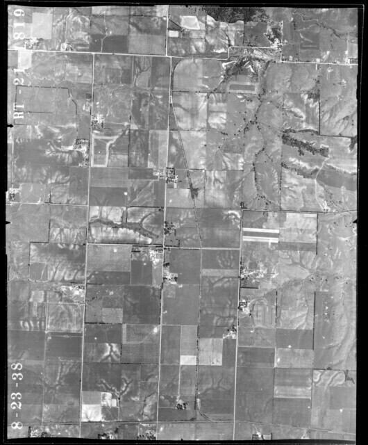
My first thought is most likely grain bins. Perhaps a government grain storage setup. These government grain storage facilities were built starting in 1938 and many survived into the 60s/70s. Few survive today because the bins are too small. There is a large T shaped building also visible in the photo.
I then looked at the Google Maps satellite image of the same site, which is quite clear with no leaves on the trees, I can see the concrete floor of the large building and the foundation of another building plus what appears to be a large smoke stack still standing. Structures not usually seen around a government grain storage site. And there is nothing to indicate the concrete pads typical with grain bins. Because nothing remains on site but tall chimney, my thought wandered to brick kilns, which could explain the chimney and large buildings. An ag area might have pickle vats for salting pickles. A remote possibility are oil storage tanks.
Near by Cable ILL had coal mines. https://hinton-gen.com/coal/mercer_mines.html
Shale ILL which is west of the area had a brick factory. http://responsive.thrivehive.com/media/site_assets/d5c6134bca9657692da338fd8e08aeb1/assets/mchsn_qtr_3_20171.pdf
Doug Harding
www.iowacentralrr.org
There is an aerial photograph showing the line going to Griffin Il. The photo shows, storage tanks! What kind I do not know. https://clearinghouse.isgs.illinois.edu/webdocs/ilhap/county/data/mercer/flight5/00rt211819.jpg
.